Finding your next hunting spot on Crown land in Ontario is a lot more straightforward than it sounds, especially when you know which tools to use. It really boils down to two key resources: the official government Crown Land Use Policy Atlas (CLUPA) and a modern mapping app like HuntScout. Get comfortable with these, and you'll be able to find, double-check, and legally get into your hunting grounds with total confidence.
Your Starting Point for Ontario Crown Land Hunting
For a lot of hunters, the thought of sifting through Ontario's vast public lands can feel like a massive undertaking. It doesn't have to be. The province is packed with opportunity for anyone willing to put in a bit of "e-scouting" time before heading out.
Think of it like having two different paths to the same destination.
One path is the classic, official route using the government’s CLUPA. This web-based map is the definitive source for all Crown land policies. Its interface can feel a bit dated and clunky, but it holds the detailed policy reports you need to be 100% sure about hunting permissions, access rules, and specific land designations. It's the tool you turn to for deep-dive, serious research.
The other path is the modern one, using a slick, purpose-built tool like the HuntScout app. These platforms are designed from the ground up to make your life easier. They overlay all the critical data—Crown land boundaries, private property lines, Wildlife Management Units (WMUs)—onto one easy-to-read map. This is your go-to for quick scouting, navigating in the field, and planning your hunt on the fly.
The Scale of Opportunity
It’s tough to wrap your head around just how much public land we're talking about. An incredible 87% of Ontario's entire landscape is Crown land, all managed by the Ministry of Natural Resources and Forestry (MNRF). That makes our province a true goldmine for hunters chasing everything from moose and deer to grouse and wild turkey.
The real secret to success isn't just finding a green blob on a map. It's about knowing the specific rules for that exact piece of land. A spot that looks like heaven on satellite imagery might have a firearm restriction or prohibit ATV access, so you have to do your homework.
This guide is all about showing you how to use both CLUPA and modern apps to your advantage. By blending the strengths of both, you can pinpoint great spots, understand all the regulations, and plan your hunt from start to finish.
For more ideas on where to begin, check out our guide on where to hunt in Ontario.
Comparing Your Crown Land Hunting Tools
Here's a quick breakdown of the two main tools for finding Crown land in Ontario, helping you choose the right one for your needs.
| Tool | Primary Use | Key Feature | Best For |
|---|---|---|---|
| CLUPA | Official policy verification | Detailed land use reports | In-depth research, confirming specific regulations, and final verification before a hunt. |
| HuntScout | Scouting & In-field navigation | All-in-one data layers (Crown, WMU, private) | Quickly finding potential spots, planning routes, and navigating on the ground with GPS. |
Ultimately, the best approach is to use them together. Use HuntScout to find promising areas quickly, then use CLUPA to dig into the fine print and confirm that your chosen spot is good to go.
First, Know Your Crown Land Designations
Before you even think about pulling up a map, you need to get one thing straight: not all Crown land is created equal, especially for hunters. Assuming a piece of public land is open for hunting just because it’s not private property is a rookie mistake that can turn a great trip into a mess of fines and frustration. Ontario's backcountry is a patchwork quilt of different land use policies, and you've got to know how to read the pattern.
The designation you'll be looking for most often is the General Use Area (GUA). This is your green light. GUAs are typically vast tracts of Crown land where activities like hunting, fishing, and camping are fair game, as long as you’re following all the provincial regulations. This is where the bulk of your scouting time will likely be spent.
But it’s not all GUAs out there. You’ll run into other types of Crown land, and each comes with its own rulebook. It’s on you to know the difference before you lace up your boots.
Key Crown Land Types to Know
Getting a handle on these designations is non-negotiable. That perfect-looking slice of forest you spotted could be completely off-limits to hunting.
- Provincial Parks: These come in two flavours: operating and non-operating. Hunting is a hard no in almost all operating parks. Some non-operating parks, however, might allow it, but often only for specific seasons and species. You absolutely must check the individual park's management plan.
- Conservation Reserves: These spots are set aside to protect unique natural or cultural features. Many do allow hunting, but they often have strict rules, like banning the construction of permanent blinds or restricting motorized vehicle use to designated trails.
- Crown Game Preserves: The name can throw you off. In these areas, all hunting and trapping are strictly prohibited to help protect wildlife. Don't get caught here.
This is a screenshot from Ontario's Crown Land Use Policy Atlas (CLUPA), which is the government's official tool. It gives you a visual breakdown of how these different zones are colour-coded.
You can see how the map separates the open General Use Areas from the more restricted parks and reserves. It gives you a quick first look, but the real info is buried one click deeper. You have to click on a specific parcel to pull up its detailed policy report.
Why the Details Matter
Let’s play out a common scenario. You find a killer access point into what looks like a huge block of Crown land. You spend a whole weekend scouting and find fresh moose sign everywhere. You’re already picturing the shot. But then you check the policy report online and discover it’s a Conservation Reserve that forbids ATV use. Your entire plan hinged on using a quad to get in and out. Game over.
A common mistake is seeing a block of green on a map and assuming it’s open for everything. The specific land use policy for that exact parcel is the final authority. Never, ever rely on map colours alone—always read the full policy report to confirm what’s allowed for hunting, camping, and vehicle access.
Doing this homework is what separates the consistently successful hunters from those who go home with a warning from a Conservation Officer. For a more complete picture of how these public lands operate across the country, check out our guide on what Crown land is in Canada. Spending a few extra minutes on research will save you a world of trouble and ensure your hunt is both legal and ethical.
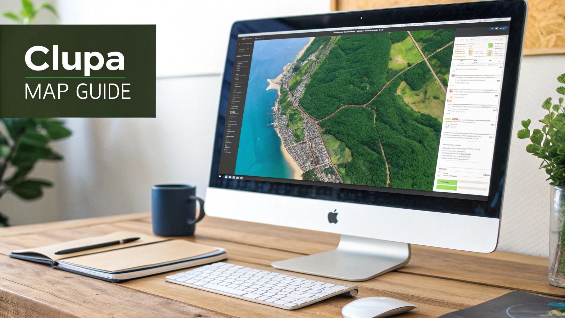
Getting to Grips with the Crown Land Use Policy Atlas
The Crown Land Use Policy Atlas, or CLUPA as it's universally known, is the government's official source of truth for public land. I'll be honest, its interface feels like a bit of a time capsule from the early 2000s, but learning your way around it is an essential skill for anyone serious about exploring Crown land in Ontario. It's the only place to get the definitive, legally binding policy reports for any given parcel.
Think of it this way: a modern mapping app like HuntScout is your user-friendly GPS for quickly finding promising areas. CLUPA, on the other hand, is the detailed blueprint you turn to for the fine print—confirming every last detail before you put boots on the ground.
This digital atlas is a powerhouse, mapping over 39 million hectares of public territory and detailing area-specific policies for more than 1,500 designated zones. It’s your gateway to the 87% of Ontario that is Crown land, especially the massive tracts north of the French and Mattawa rivers, where 95% of it is located—prime territory for big game.
Decoding the Map and Its Layers
When you first open the Atlas, you’re greeted by a map of Ontario covered in a patchwork of colours and patterns. It can be a little overwhelming. The key is to immediately find the "Map Layers" tool to control what you see. Toggling features on and off is crucial for cutting through the clutter.
As a first step, I always turn on the layers for Crown land use areas, township boundaries, and Wildlife Management Units (WMUs). This gives you a clear visual of where potentially huntable land intersects with the WMU you have a tag for. Generally, that light green shading represents General Use Areas, which are usually your primary targets.
Pulling the All-Important Policy Report
Okay, so you've found a nice big patch of green. That's just the start. The most critical function in CLUPA, and the one you can't skip, is the "Find Information" tool. This is how you move from just looking at a map to truly understanding the rules on the ground.
You’ll select the tool, click on the specific parcel of land you're eyeing, and a pop-up window will appear. Look for the "Policy Report" link—this is what you’re here for.
This report is non-negotiable reading. It outlines everything from permitted activities and hunting restrictions to rules around camping, road access, and even the use of motorized vehicles like ATVs. Never assume a green patch on the map is good to go. Always verify with the report.
Let’s walk through a real-world example of how I’d use this to plan a deer hunt.
Practical Example: Planning a Whitetail Hunt
Imagine you're e-scouting a new spot in WMU 60. You’ve found a large General Use Area on the CLUPA map that backs onto a lake system. It looks promising.
- Locate the Area: First, I'd use the search function or just pan the map to get to my general vicinity within WMU 60.
- Identify the Parcel: I’d then click on the light green polygon that represents that specific General Use Area.
- Generate the Report: Next, I’d grab the "Find Information" tool and pull the detailed policy report for that land use area, which will have a unique code like "G1234."
- Analyze the Details: Now for the important part: reading the report. It confirms that hunting is a permitted activity. Even better, under the "Access" section, it notes that certain logging roads are open to public use but may not be maintained.
This last bit of information is pure gold. It tells me I can legally drive in, but that I’ll probably need my 4x4 and should be prepared for some rough conditions. By spending just five minutes with the policy report, I've not only confirmed my spot is legal but also gathered crucial intel for planning my route and knowing what to expect.
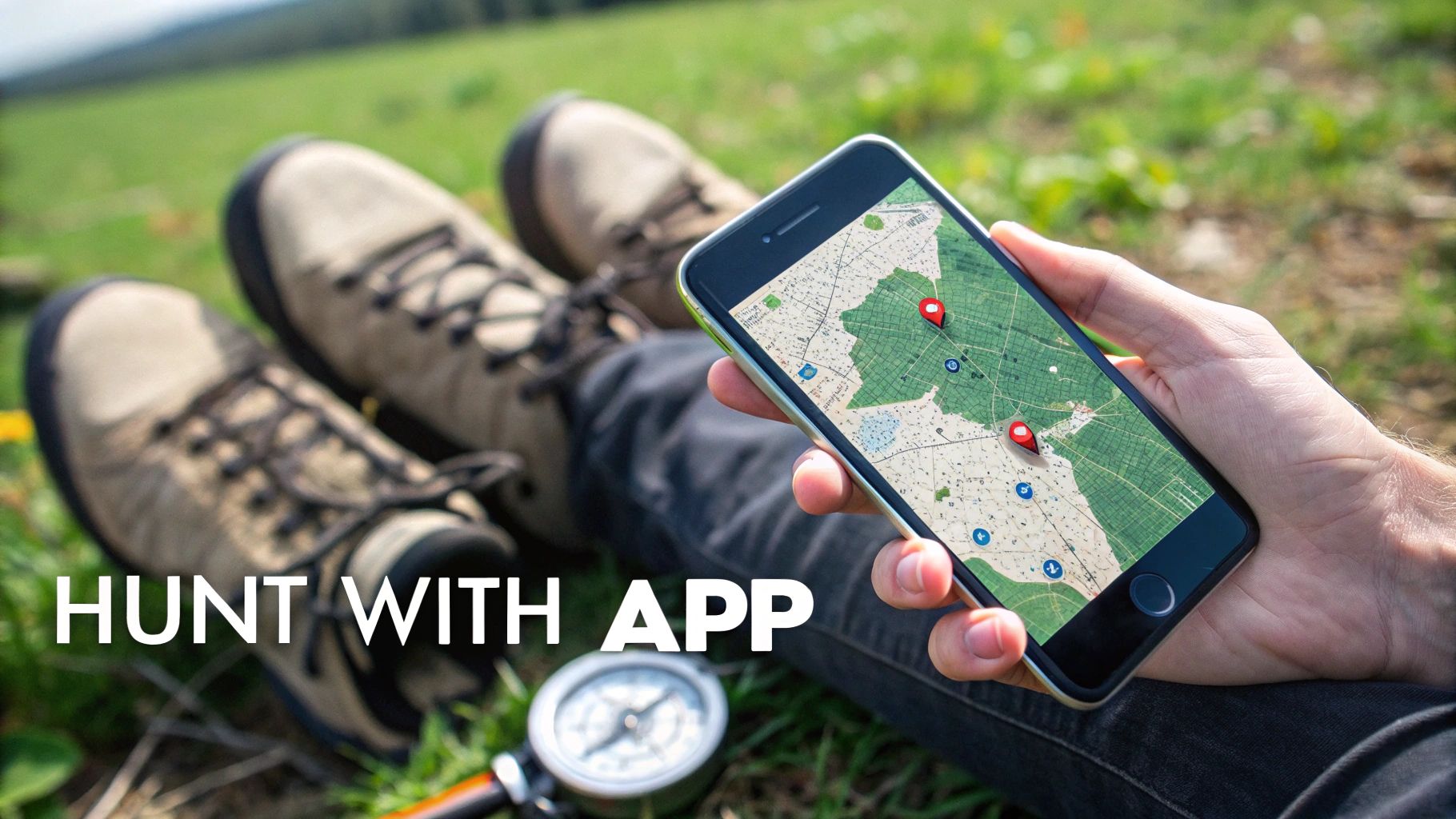
Using Modern Hunting Apps for Faster Scouting
The official CLUPA is the definitive source for legal verification, but let's be honest—it's not built for quick, on-the-fly scouting or navigating in the bush. This is where a good hunting app really shines. Think of it as a powerful field tool that takes all that dense government data and makes it incredibly simple to use when you're planning your hunt or have boots on the ground.
These apps are designed with one goal in mind: getting you from your computer screen to your hunting spot efficiently. They layer multiple, complex data sets onto a single, clean map. So, as you pan across a satellite image, you can see everything at once:
- Crown Land Boundaries: The clear lines showing where public land starts and stops.
- Private Property Lines: No more guessing. Instantly see parcels you need to avoid or get permission for.
- WMU Overlays: Quickly confirm you're looking at an area within your licensed Wildlife Management Unit.
This integrated view saves a ton of time. You’re no longer bouncing between different government websites and clunky map viewers trying to piece it all together.
From Scouting to In-Field Confidence
The real power of this tech is how it bridges the gap between home-based research and confident execution in the field. An app like HuntScout takes that authoritative government data and puts it in your pocket in a usable format. Ontario has over 107 million hectares of Crown land, and tapping into it is all about mastering the data.
These apps turbocharge the foundational information from CLUPA, which itself tracks provincial policies across more than 39 million hectares, by adding practical features like up-to-date season dates and high-resolution satellite imagery.
This means you can drop waypoints on promising-looking clear-cuts, trace game trails you spot from the satellite view, and mark potential glassing knobs—all before your boots even hit the dirt. You’re essentially building a personalized, intel-rich map of your hunting area from the comfort of your couch.
The Offline Mapping Advantage
For any serious backcountry hunter, this next feature is non-negotiable: offline maps. We all know cell service is spotty at best—and often completely absent—in the prime Crown land areas of Northern Ontario. This is where a prepared app transitions from a convenience to a critical piece of safety gear.
Before you lose service, you download entire map sections for your hunting area. This saves everything to your phone: the satellite imagery, all the boundary layers, and every single custom waypoint you've marked. Your phone's GPS will still work without cell service, showing your exact location on that downloaded map.
It’s the modern-day map and compass, but infinitely more powerful.
This capability turns your phone into your primary navigation tool. You can push deeper into thick bush, follow a faint trail, or find your way back to the truck in the dark, all with the confidence of knowing precisely where you stand in relation to property lines and your intended route. It takes the anxiety out of navigation and lets you just focus on the hunt.
Alright, you've pinpointed what looks like a great piece of Crown land on the map. That's a solid first step, but the real work starts now. Honestly, the most crucial part of this whole process is figuring out if you can actually get there without breaking the law.
A huge amount of public land in Ontario is completely surrounded by private property, making legal access the single biggest challenge you'll likely face.
Let's be crystal clear: if you have to cross private land to get to that Crown block and you don't have permission, you're trespassing. No ifs, ands, or buts. The whole game is about finding a legitimate entry point, and that means doing your homework on the computer or your phone before you even think about putting gas in the truck.
Your mission is to find a public access corridor that connects a maintained road to the piece of Crown you want to explore. Think of these corridors as your lifeline. They come in a few different flavours, and learning how to spot them on satellite and topographic maps is a skill that will pay off time and time again.
Finding a Legal Way In
When you're scanning the maps, you're almost always looking for one of these three things. I like to use the satellite imagery on a platform like HuntScout to visually follow potential routes from the nearest road all the way to my target area.
- Public Road Allowances: You'll be surprised how many old survey lines for roads were drawn on a map but never actually built. These still exist as public rights-of-way and often show up as faint dirt tracks, ATV trails, or sometimes just a cleared line through the trees.
- Official Trails: Keep an eye out for marked snowmobile or ATV trails. Many of these have legal agreements allowing them to cross private land, creating a public highway of sorts right onto the Crown land you want to reach.
- Water Access: This is a classic for a reason. Navigable rivers, streams, and lakes are public highways. If you can get your canoe or boat into the water at a public launch, you can legally travel to any Crown land that touches the shoreline.
A word of caution: just because a path looks like a road and leads to Crown land doesn't mean you can use it. It might be a private logging road or someone's very long driveway. Always, always cross-reference what you see on satellite with the property ownership layers on your map. When in doubt, find another way.
Boots-on-the-Ground Verification
Okay, so your digital scouting has led you to a promising access point. Now it's time for the moment of truth. When you get there, you need to put your phone away for a second and just look around. Be observant.
Is there a "No Trespassing" sign? A gate? Faded paint on a tree? These are all clear signals that you've hit a dead end and need to go back to the drawing board.
Keep in mind that some of those unmaintained road allowances might be nothing more than a whisper of a trail heading into the bush. It's on you to make sure you stick to that public right-of-way and don't wander onto the private land on either side.
This is where having your tools ready makes all the difference. Of course, you'll have your hunting licences, tags, and Outdoors Card on you. But just as important is having your offline maps downloaded on your phone. Being able to pull up your app, see your little blue dot moving in real-time against the property lines—that’s what removes the guesswork. It’s the best way to avoid a simple mistake that could turn into a very expensive problem.
Getting this stuff right isn't just about being a good citizen; it's about making sure your adventure is a success from start to finish.
Putting It All Together for Your Next Hunt
So, how do you turn all this information into a successful hunt? It really boils down to a straightforward, repeatable process.
It all starts with doing your homework. Get comfortable with the different types of Crown land you might encounter and then pull out the right tools for the job. Your best bet is to pair the official Crown Land Use Policy Atlas (CLUPA) for those nitty-gritty policy details with a modern mapping app like HuntScout to do your digital scouting efficiently from home.
But here’s the most critical part, the one you can’t ever skip: verifying legal access. I've seen it happen—someone finds the perfect spot on the map, gets their hopes up, only to discover there's no legal way to get there without crossing private property. All that prep work goes down the drain.
This simple workflow is the key to getting it right every time.
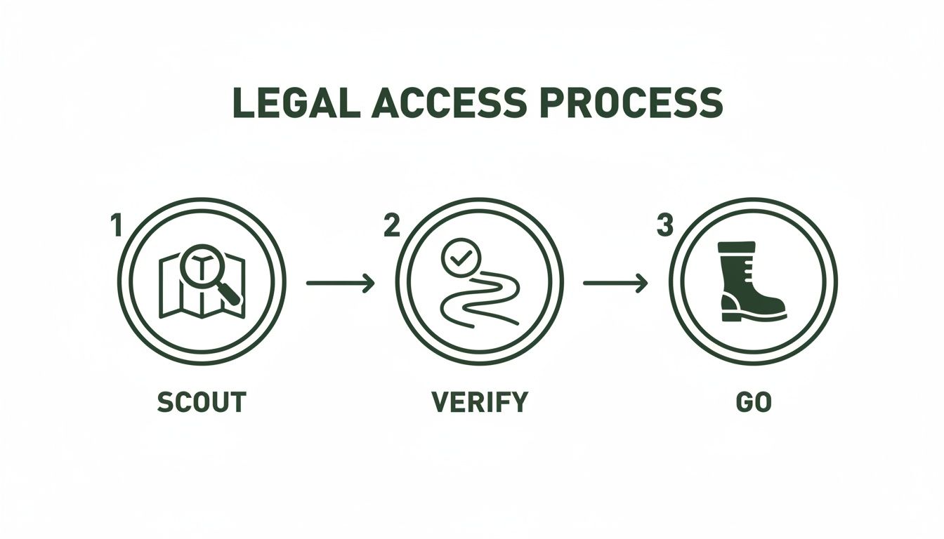
Finding a promising location is just the first step. That crucial middle stage—confirming you can actually get there—is what makes or breaks your trip before you even put boots on the ground.
You now have the knowledge and the strategy to start tapping into the incredible public land opportunities we have here in Ontario. It’s your turn to get out there and find your own honey hole.
Your Top Questions About Ontario Crown Land, Answered
Heading out onto public land for the first time? It's natural to have a lot of questions. Let's clear up some of the most common ones that come up when you're figuring out how to find and use Crown land in Ontario.
Can I Just Pitch a Tent Anywhere on Crown Land?
For Canadian residents, the general rule is yes—you can camp for free for up to 21 days in one spot during a calendar year. But, and this is a big one, this doesn't apply everywhere. If that land is leased out for something like a mining operation or forestry, you can't camp there without getting the leaseholder's permission first. Non-residents have it a bit different; they'll need to buy a camping permit.
Before you set up camp, always pull up the CLUPA policy report for that specific area. It'll tell you exactly what's allowed and what's not.
Is Hunting Permitted on All Crown Land?
Definitely not, and getting this wrong can land you in serious trouble. General Use Areas are usually your best bet for hunting, but other designations are often off-limits. Provincial Parks, Conservation Reserves, and especially Crown Game Preserves come with their own set of rules, which often include outright hunting bans or heavy restrictions.
It’s completely on you to confirm that hunting is a permitted activity for the specific piece of land you’re interested in. The official policy report is the final authority on this.
The biggest mistake I see people make is spotting a patch of green on a map and just assuming it's fair game. Always, always click through and read the detailed land use policy before you even think about putting boots on the ground. It’s a simple check that can save you from a major headache.
How Can I Tell if a Road Provides Public Access?
This is probably the trickiest part of the whole process. Your best bet is to use a combination of tools. I start by tracing potential routes on satellite imagery and overlaying property lines in an app like HuntScout.
When you're actually out there, look for physical clues—gates, fences, or "No Trespassing" signs are dead giveaways. If an access road cuts across private property, you absolutely need the landowner's permission to use it, even if it’s the only way to get to a great-looking piece of Crown land. If you have any doubt at all, it's smarter to just find another way in.
Ready to stop guessing and start scouting? The HuntScout app puts all the layers you need—Crown land, private property, and WMUs—onto one map. Plan your hunt with confidence and find your spot faster. Download it for free at https://huntscout.app.